How many types of survey are there in civil engineering?
Surveying is done and is an essential part of civil engineering. Also they are understood or categorized according to how the earth is presumed: spherical or not spherical. This is because surveying is done with a lot of precision. And thus, the curved shape of earth is taken into consideration.
When you take the curved shape of earth into consideration, then it is called as geodetic type. When you do not consider the curved shape of earth, then it is called as plane one.
Surveying can be classified into many types based on the characteristics. The classification which is based on the kind of field is the following:
~ Land Surveying: Again, this category is divided into many sections namely topographical survey and cadastral survey. It is basically process of all the buildings and artificial features constructed on the land. These structures can be roads, railways, water systems and properties etc.
~ Marine Surveying: It is defined as all about the bodies under the water. This survey is mainly done because of the need of water supply, ship and harbor works or simply navigation. They make topological survey and then determine the whole scenario by understanding the water depth.
~ Astronomical Surveying: This is related to observing the astronomical bodies like the stars or the planets. They help in finding out the absolute location of the exact point.
Now, if you want to classify surveying based on things or object:
~ Geological
~ Mine
~ Military
~ Archaeological
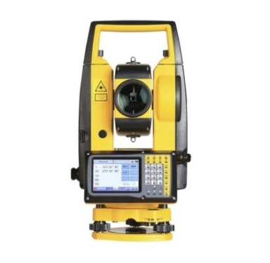
Thus, these are some of the types in surveying that we have in civil engineering, we also use optech scanner, Vernier theodolite, tripod stand for surveying in regular projects.